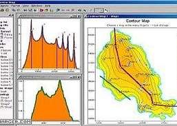
Track your GPS waypoints and view topography maps and aerial photos.
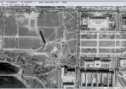
ExpertGPS mapping software for Garmin, Magellan, Lawrence, and Brunton GPS owners is your direct connection to the complete set of USGS topo maps and aerial photos. ExpertGPS displays your way points, routes, and tracks on USGS topo maps and aerial photos. Using the mapping tools in ExpertGPS, you can draw your route directly on a map, search for nearby features ...
Redirecting to a secure site. We are checking If the link is working. Please wait...
You can report broken links into broken@dailydownloaded.com. Our editors will review them shortly.
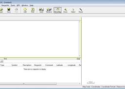
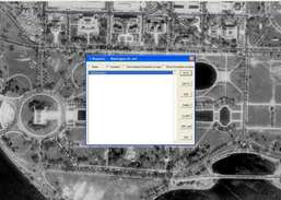
Create, edit, and transfer waypoints and routes between your computer and your Garmin, Magellan, or Lowrance GPS.
Download USGS aerial photos from Microsoft's Terraserver Web site.
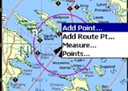
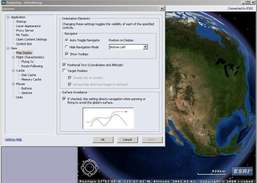
Plan routes and perform real-time GPS navigation on land, sea, and in the air.
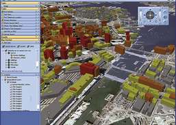
Combine GPS data editor and real-time navigation with Google Maps and Google Earth.
Access online GIS content and capabilities.