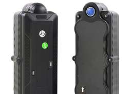
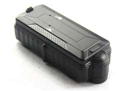
Collect GPS data from various GPS trackers simultaneously.
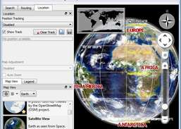
Learn more about Earth using a Virtual Globe.
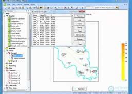
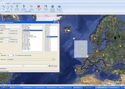
Combine GPS data editor and real-time navigation with Google Maps and Google Earth.
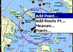
Plan routes and perform real-time GPS navigation on land, sea, and in the air.
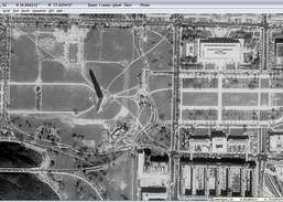
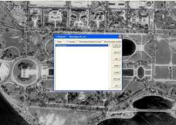
Download USGS aerial photos from Microsoft's Terraserver Web site.
Find out exact location you are in and navigate its surroundings.
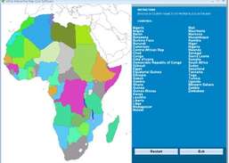
Drag and drop the country names of Africa correctly onto the map.
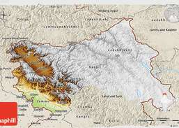
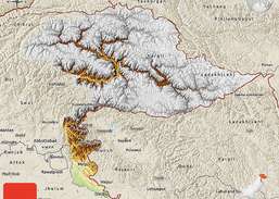
Download maps from Google Maps, Yahoo Maps, Bing Maps, or OpenStreet Maps.