USAPhotoMaps Specifications
|
Download USGS aerial photos from Microsoft's Terraserver Web site.
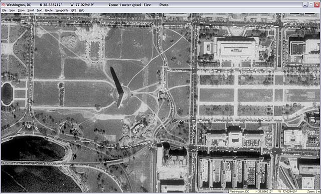
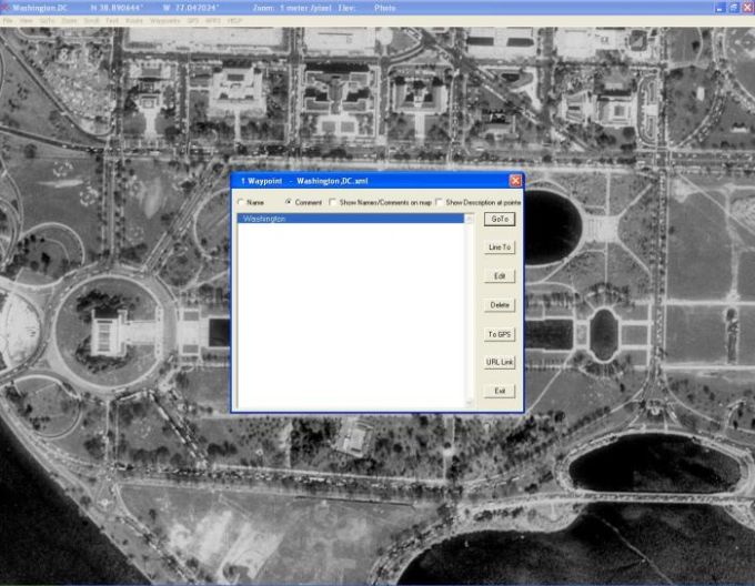
USAPhotoMaps downloads USGS aerial photo and topo map data from Microsoft's free TerraServer Web site, saves it on your hard drive, and creates GPS-accurate maps from it.
You can: Scroll and zoom, See latitude/longitude, USGS Landmarks, Tiger/Line streets, elevation and contour lines, Add waypoints, routes, and text, See photos associated with waypoints, Go to any address, populated place, USGS landmark, or lat/lon in the U.S.A., and transmit, receive, and show APRS data.
Plan routes and perform real-time GPS navigation on land, sea, and in the air.