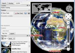
Learn more about Earth using a Virtual Globe.
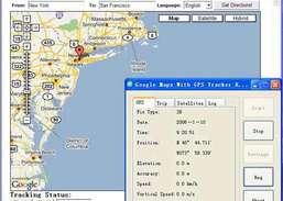
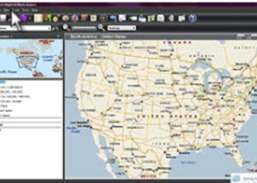
View your real-time physical position on moving Google Map.
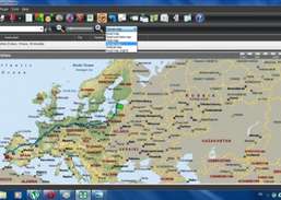
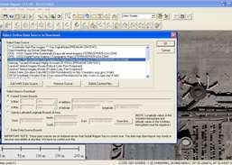
Download maps from Google Maps, Yahoo Maps, Bing Maps, or OpenStreet Maps.
Collect GPS data from various GPS trackers simultaneously.
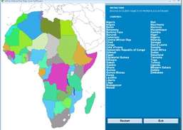
Drag and drop the country names of Africa correctly onto the map.
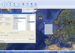
Create and manage your Garmin vector maps.
Create graphs of complex functions.
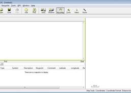
Create, edit, and transfer waypoints and routes between your computer and your Garmin, Magellan, or Lowrance GPS.
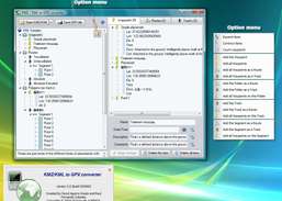
Convert and export routes, tracks, and waypoints from Google Earth (KMZ or KML) to GPX format.
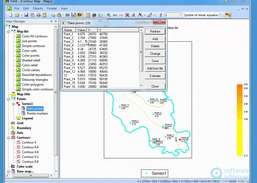
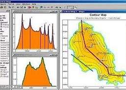
Facilitate the geographical visualization and analysis of data by analyzing maps.
Work with various maps and perform feathering, spectral analysis and contrast adjustment.