Show and change geo data of images taken by digital cameras.
GeoSetter is a free tool for editing digital image metadata, but with a special emphasis on geographical data. It includes a Google Map feature that shows where the picture was taken. Of course, not every image contains geo data, but GeoSetter also edits EXIF and other image data. In fact, it's one of the most capable image data tools we've ...
Redirecting to a secure site. We are checking If the link is working. Please wait...
You can report broken links into broken@dailydownloaded.com. Our editors will review them shortly.
View and edit JPEG files.
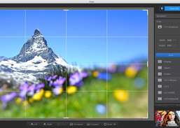
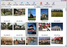
Import, organize, view, edit, print, and share your digital images.
View, organize, edit, print, and share digital images.
Edit images - perform typical image editing tasks, plus apply the Photoshop plugins filters.
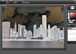
Create original graphics and enhance your photos.
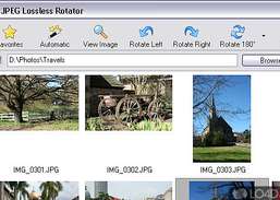
Rotate your JPEG images and photos without affecting quality.