Rectify oblique aerial images and combine them with maps, orthophotos, or satellite pictures.
It has been tested with 140 high resolution (3648x2736 RGB) digital images made from an unmanned aerial vehicle (UAV) with creation of a seamless orthophoto of 9714 x 16588 RGB pixels and a digital terrain model both without manual intervention under 32 bit Windows 7. Special hardware or a 64 bit operating system are not needed, but for 3D display, ...
Redirecting to a secure site. We are checking If the link is working. Please wait...
You can report broken links into broken@dailydownloaded.com. Our editors will review them shortly.
Crop an object in a photo and place it on a different background to create a new photo.
Acquire images from TWAIN scanner simply and quickly.
Get greater artistic control and flexibility over RAW image formats.
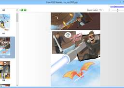
Read any CBZ digital comic book.
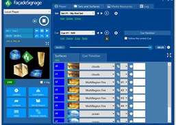
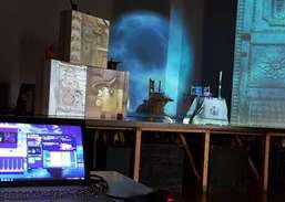
TABULA FacadeSignage is the most quick and easy to use Projection Mapping application for the Microsoft Windows platform.