AirPhotoSE Specifications
|
Rectify oblique aerial images and combine them with maps, orthophotos, or satellite pictures.
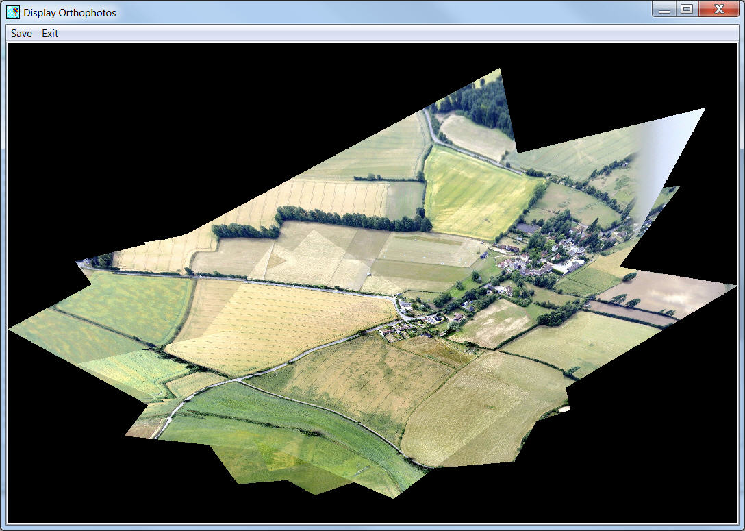
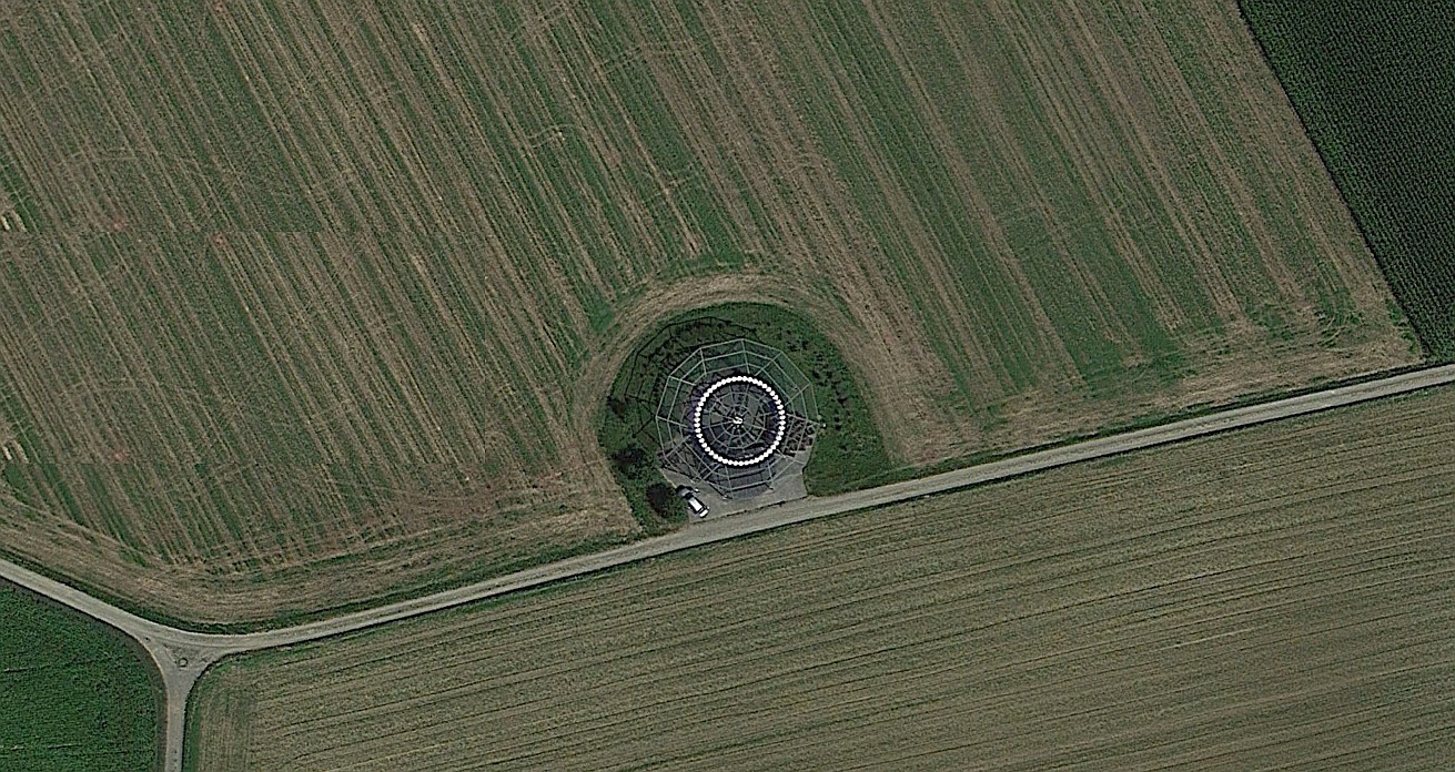
It has been tested with 140 high resolution (3648x2736 RGB) digital images made from an unmanned aerial vehicle (UAV) with creation of a seamless orthophoto of 9714 x 16588 RGB pixels and a digital terrain model both without manual intervention under 32 bit Windows 7. Special hardware or a 64 bit operating system are not needed, but for 3D display, the latter is advantageous. A large selection of image file input formats are available including RAW from many current digital cameras. Output is also available in PDF format. A selection of modern GeoPortal web sites is available, and more can be added easily by the user. Google Maps and Bing Maps may also be opened from the GeoPortal menu. Please click on the links above to read about all the options and features.
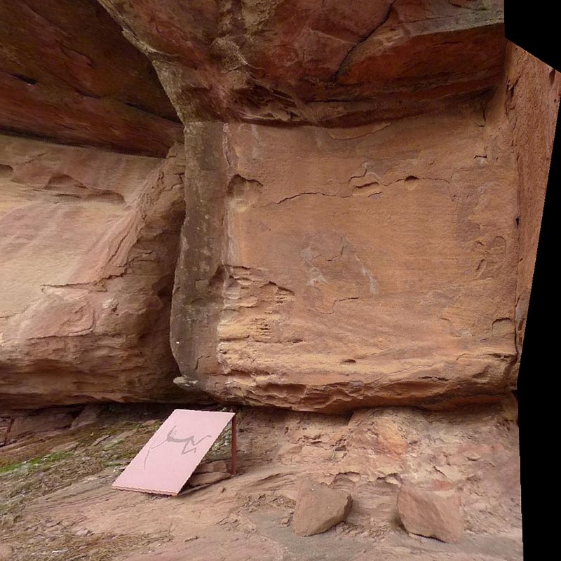
Crop an object in a photo and place it on a different background to create a new photo.
TABULA FacadeSignage is the most quick and easy to use Projection Mapping application for the Microsoft Windows platform.