Canvas X Geo Specifications
|
Make your geospatial data tell a story with a rich graphic toolset and sophisticated data handling.
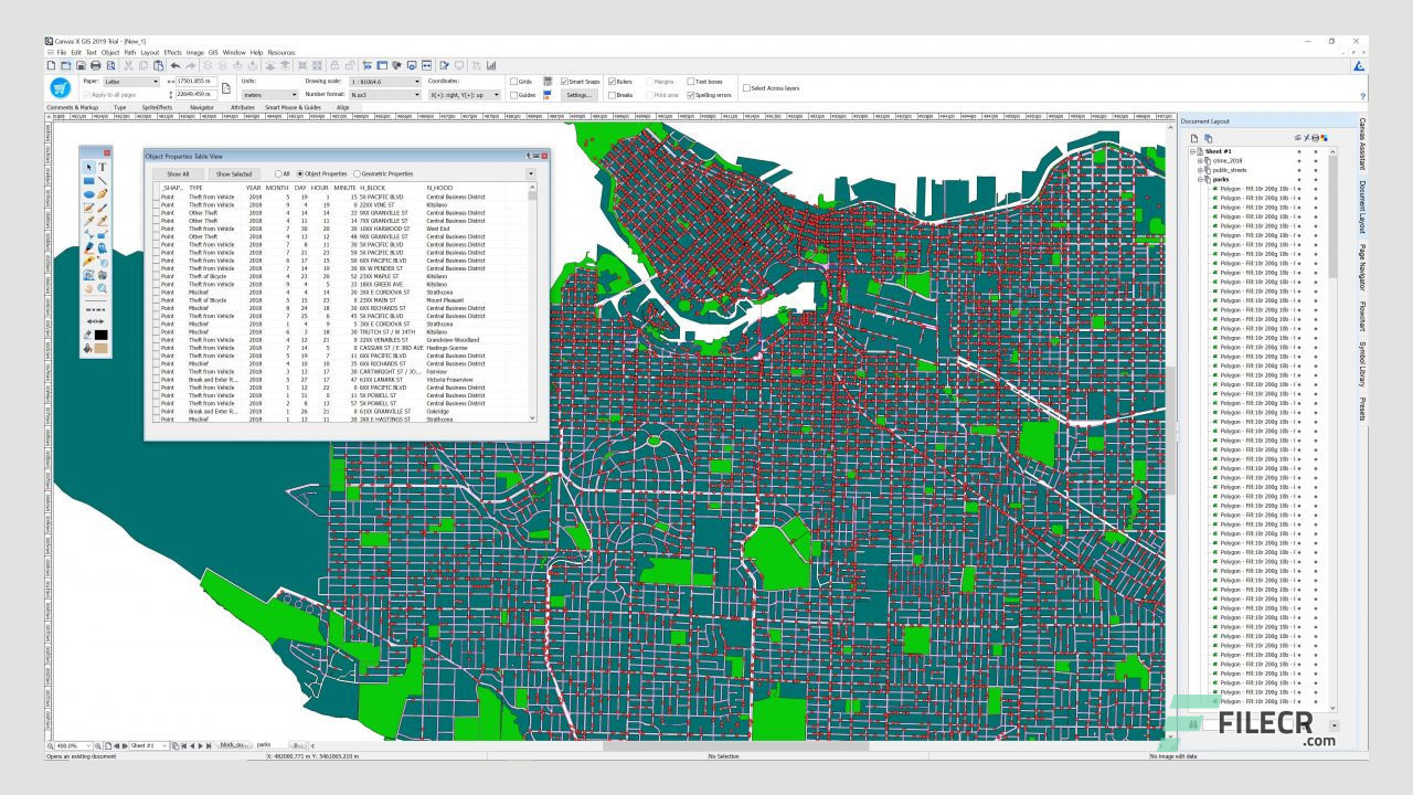
Represent, filter, and integrate a wide range of geospatial data formats in a single, powerful application. Import and work with documents containing over one million objects in high resolution. Drive seamless data collaboration thanks to numerous outputs, including maps, cross-sections, figures and presentations.
Shop your favorite products and we’ll find the best deal with a single click. Designed to make shopping easier.
|
|
|
|
|
|
|
|
|
|
|
|
|
|
|
|
|
|
|
|