GPS Map Viewer Specifications
|
Display waypoints, routes, and tracks in an interactive map.
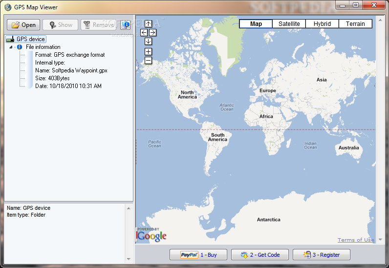

GPSmapview allows you to display Waypoints, Routes, or Tracks loaded from many file formats in an interactive map. Use it to see where you've been, plan where you're going, or visualize geographic data. In addition GPSmapview can Print or export your maps in JPEG format. Four kind of maps are available to display your geographic data: simple map, streets map, satellite imagery or terrain-shaded relief map.
GPSmapview can read many different file formats: Google Earth KMZ and KML files, GPS exchange format (gpx), TomTom Navigator (ov2, itn), Magellan MapSend (wpt, trk), Garmin Point of Interest (non encrypted only)(gpi), Palm Address Book files (aba), NMEA 0183 sentences files (nmea), SUUNTO Data files (sdf), Navigon MN6/5/4 files (rte), iGO (comma delimited)(asc), Garmin POI (comma delimited)(csv), Magellan POI (comma delimited)(csv), Route66 (comma delimited)(csv) Navman (comma delimited)(csv).
Plan routes and perform real-time GPS navigation on land, sea, and in the air.